Pictures of our property on Leila lake Mile 121.2 on the Glenn Highway, about 7 miles west of Eureka Summit Lodge. The photos were taken in the fall of 2002 and February of 2003. We plan on starting a project this summer to build a house on the property. The lot is 5 acres and goes from the highway to the lake. We have seen wolf, bear, moose, caribou, and fox tracks on the driveway from time to time. The lake has a good population of grayling and is about a mile wide and .75 miles long.
Click on an image for larger photo:
 View
of Leila Lake from our property looking to the southeast toward the Chugach
Mountains.
View
of Leila Lake from our property looking to the southeast toward the Chugach
Mountains.
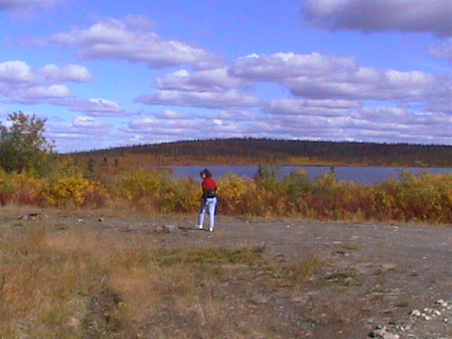 View
of planned house building site.
View
of planned house building site.
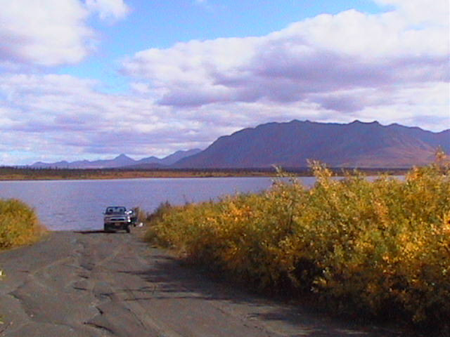 Looking
down the driveway. The driveway is a total of about 1200 feet long from the
highway to the lake.
Looking
down the driveway. The driveway is a total of about 1200 feet long from the
highway to the lake.
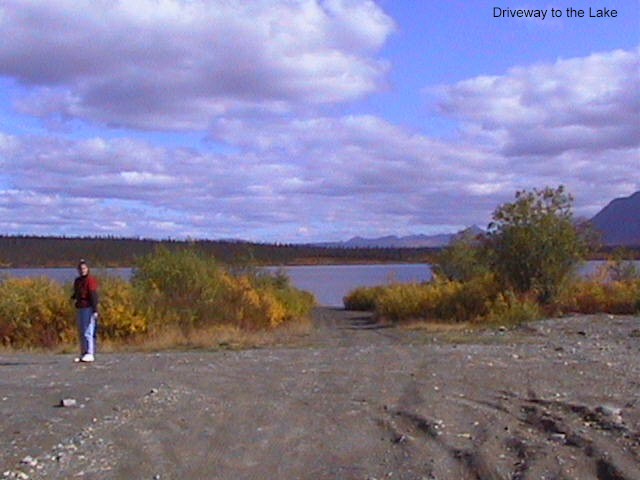 Looking
down the driveway from our building site towards the lake.
Looking
down the driveway from our building site towards the lake.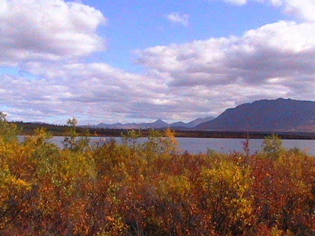 Fall
photo looking Southeast.
Fall
photo looking Southeast.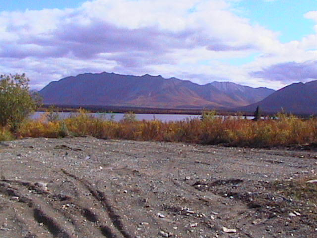 Planned
site of garage.
Planned
site of garage.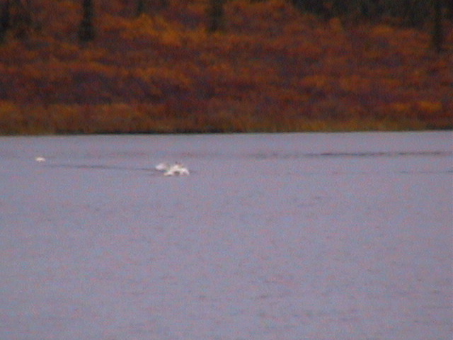 Swans
landing on Leila Lake.
Swans
landing on Leila Lake.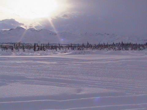 Far
side of Leila Lake during a winter snowshoe hike.
Far
side of Leila Lake during a winter snowshoe hike.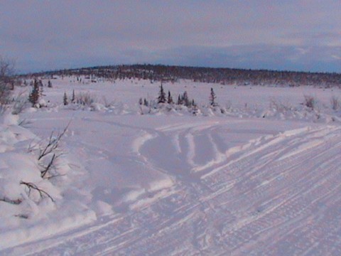 View
of our planned building site winter of 2003.
View
of our planned building site winter of 2003. View
of Gunsite Mountain from Leila Lake. Gunsite is an extinct volcano with a
distinctive notch on the peak of the mountain giving the mountain it's name.
View
of Gunsite Mountain from Leila Lake. Gunsite is an extinct volcano with a
distinctive notch on the peak of the mountain giving the mountain it's name.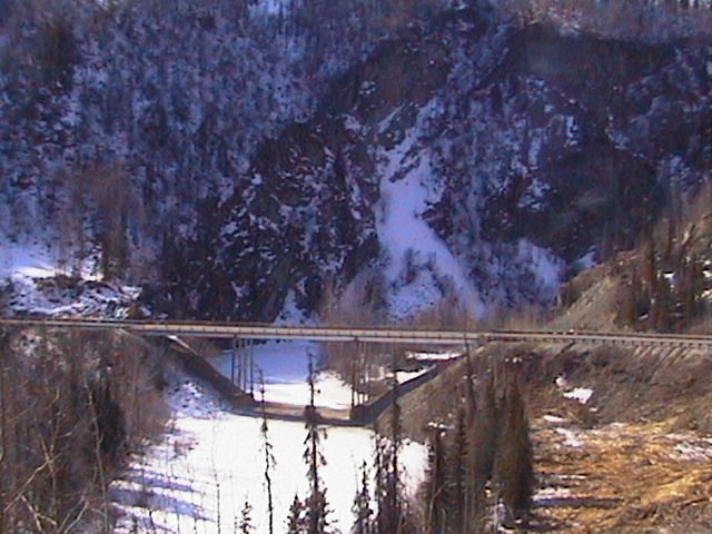 The
old Caribou Creek Bridge. This was taken a couple of weeks before this
bridge was taken down during the construction project in 2003.
The
old Caribou Creek Bridge. This was taken a couple of weeks before this
bridge was taken down during the construction project in 2003.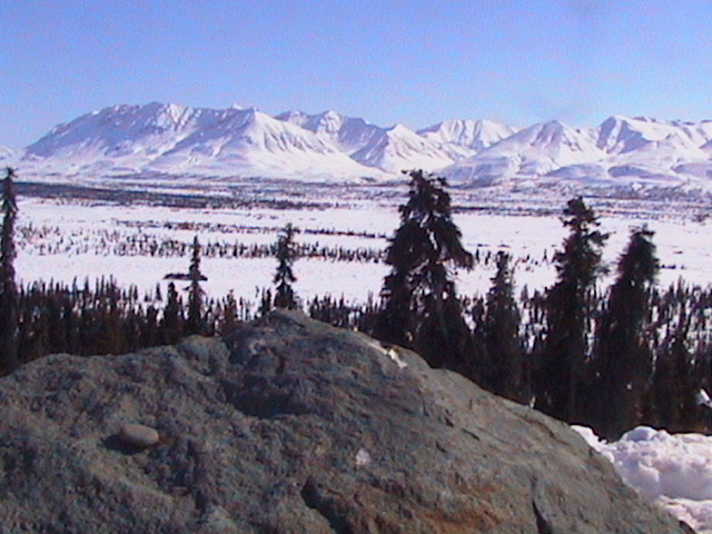 View
of the Chugach Mts from the Glenn Hyw mile 120, just before and above Leila
Lake.
View
of the Chugach Mts from the Glenn Hyw mile 120, just before and above Leila
Lake.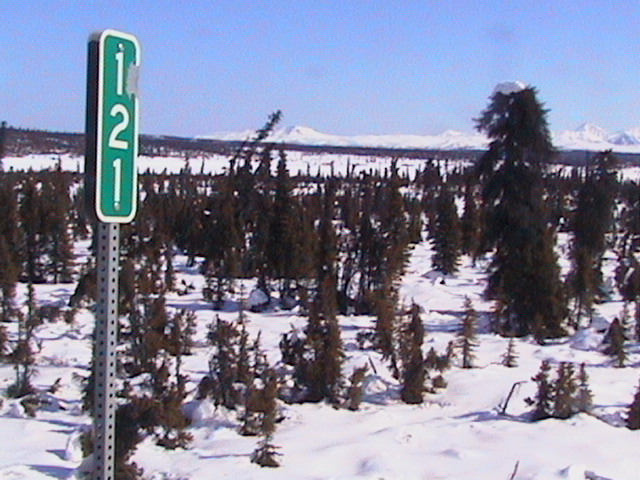 Mile
121 from the Glenn Hyw looking through the black spruce towards Leila Lake.
Mile
121 from the Glenn Hyw looking through the black spruce towards Leila Lake.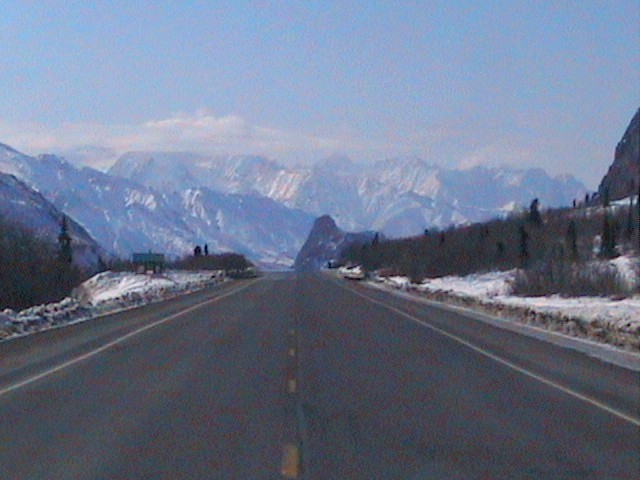 View
of Lions Head (straight down the road) from the Glenn Hyw about mile 112.
Lions Head is an ancient volcano core composed of Quartz Porphyry Andesite.
View
of Lions Head (straight down the road) from the Glenn Hyw about mile 112.
Lions Head is an ancient volcano core composed of Quartz Porphyry Andesite.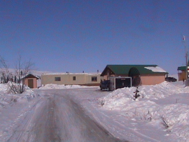 Tom
& Mary Ann Berkley's trailer (The Palace). Lots of years staying at the
Palace taking care of the place for Tom & Mary Ann, who hopefully, will
return soon.
Tom
& Mary Ann Berkley's trailer (The Palace). Lots of years staying at the
Palace taking care of the place for Tom & Mary Ann, who hopefully, will
return soon. Chuck
Whitney and his cabin 7 miles west of Leila Lake and 14 miles west of Eureka
next to Majestic Valley Lodge.
Chuck
Whitney and his cabin 7 miles west of Leila Lake and 14 miles west of Eureka
next to Majestic Valley Lodge. View
of the Chugach Mtns looking SW from the house. Valley is the East Fork of
the Matanuska River.
View
of the Chugach Mtns looking SW from the house. Valley is the East Fork of
the Matanuska River. View
of the Chugach Mtns looking SE from the house
towards the Nelchina River valley just right of the mountains.
View
of the Chugach Mtns looking SE from the house
towards the Nelchina River valley just right of the mountains.